Cicero Avenue Land Use Study
Cicero Avenue Land Use Study
The Cicero Avenue Land Use Study is underway to help create a vision for future land uses on Cicero Avenue on the Northwest Side.
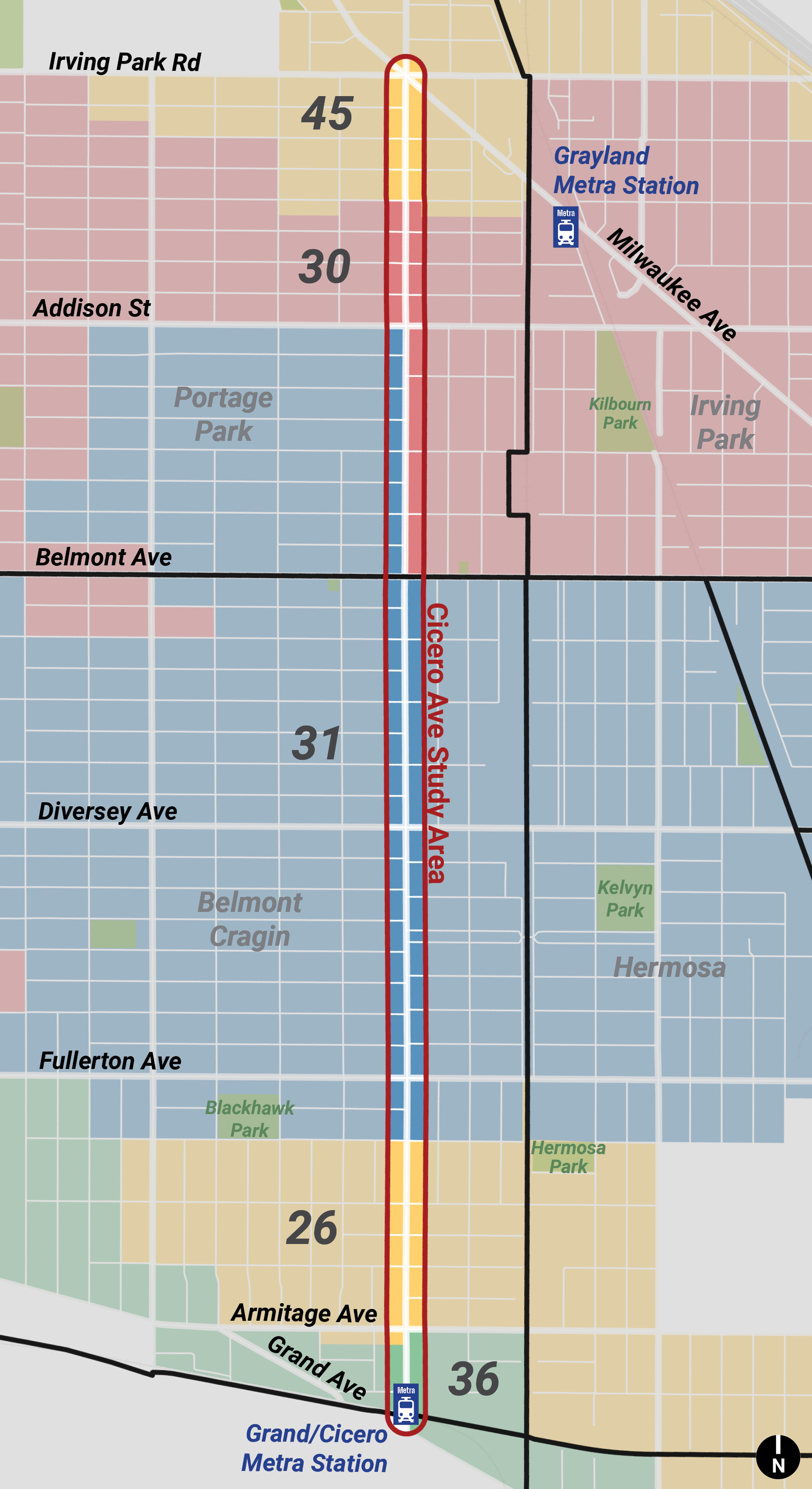
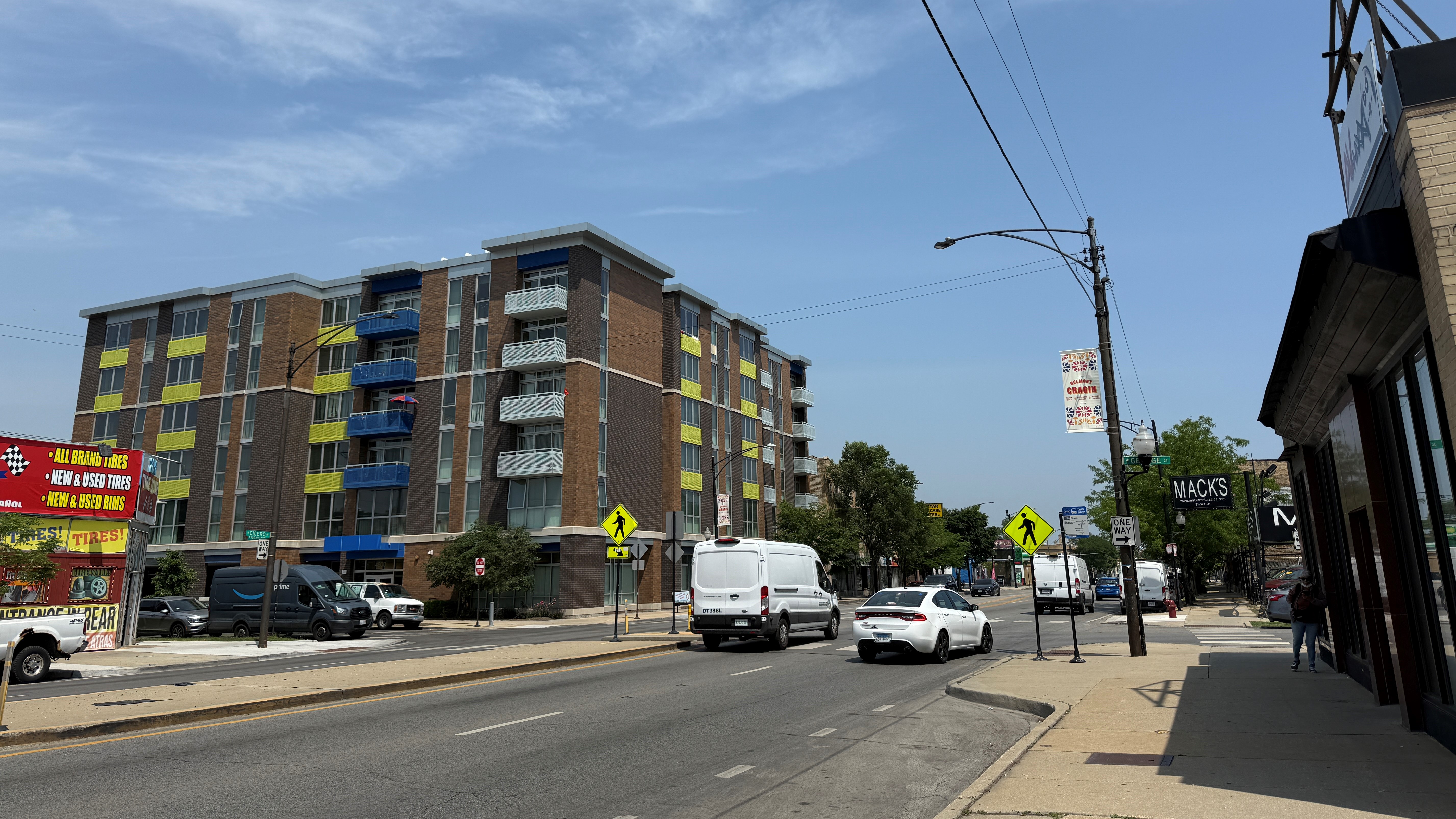
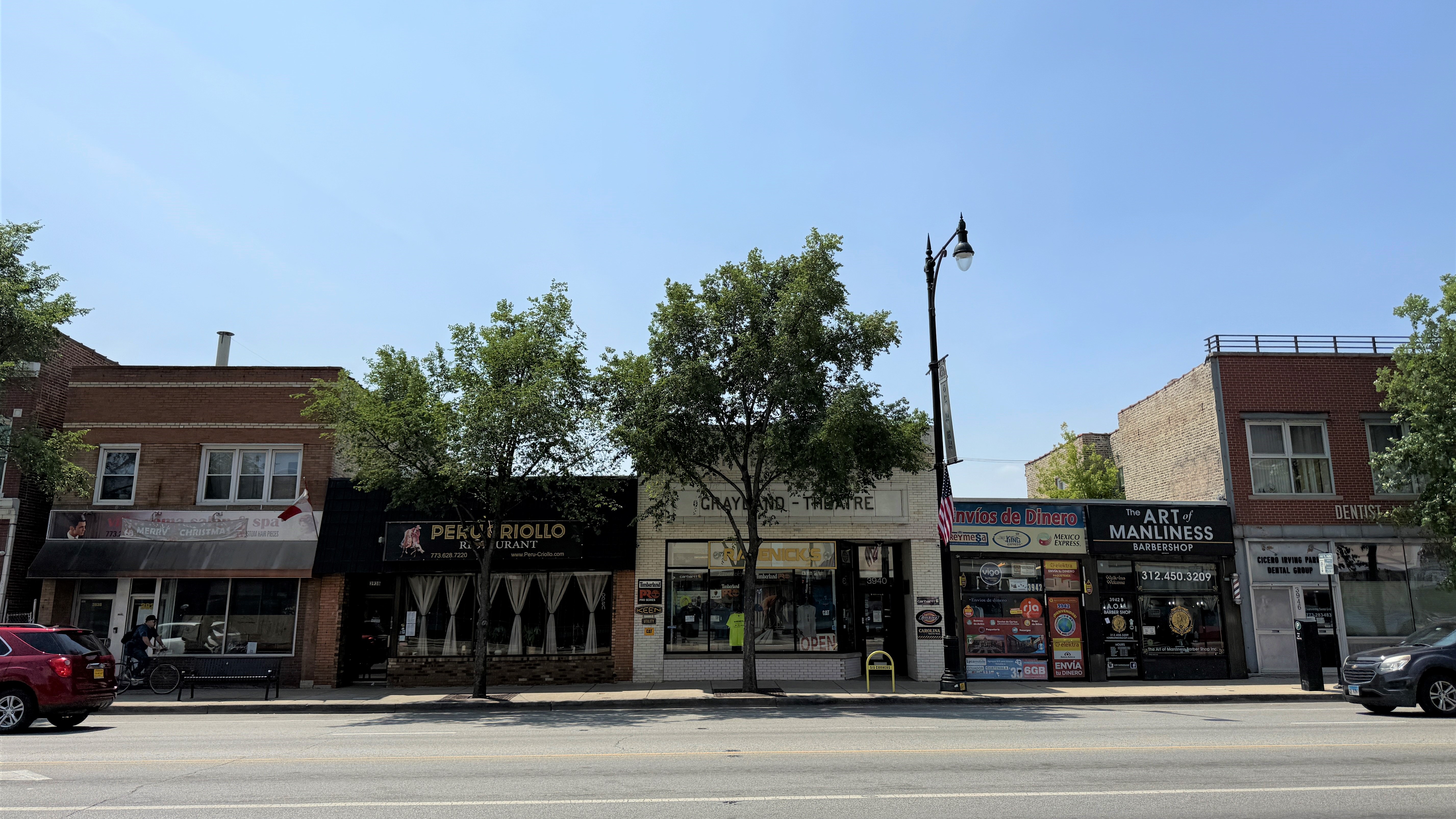
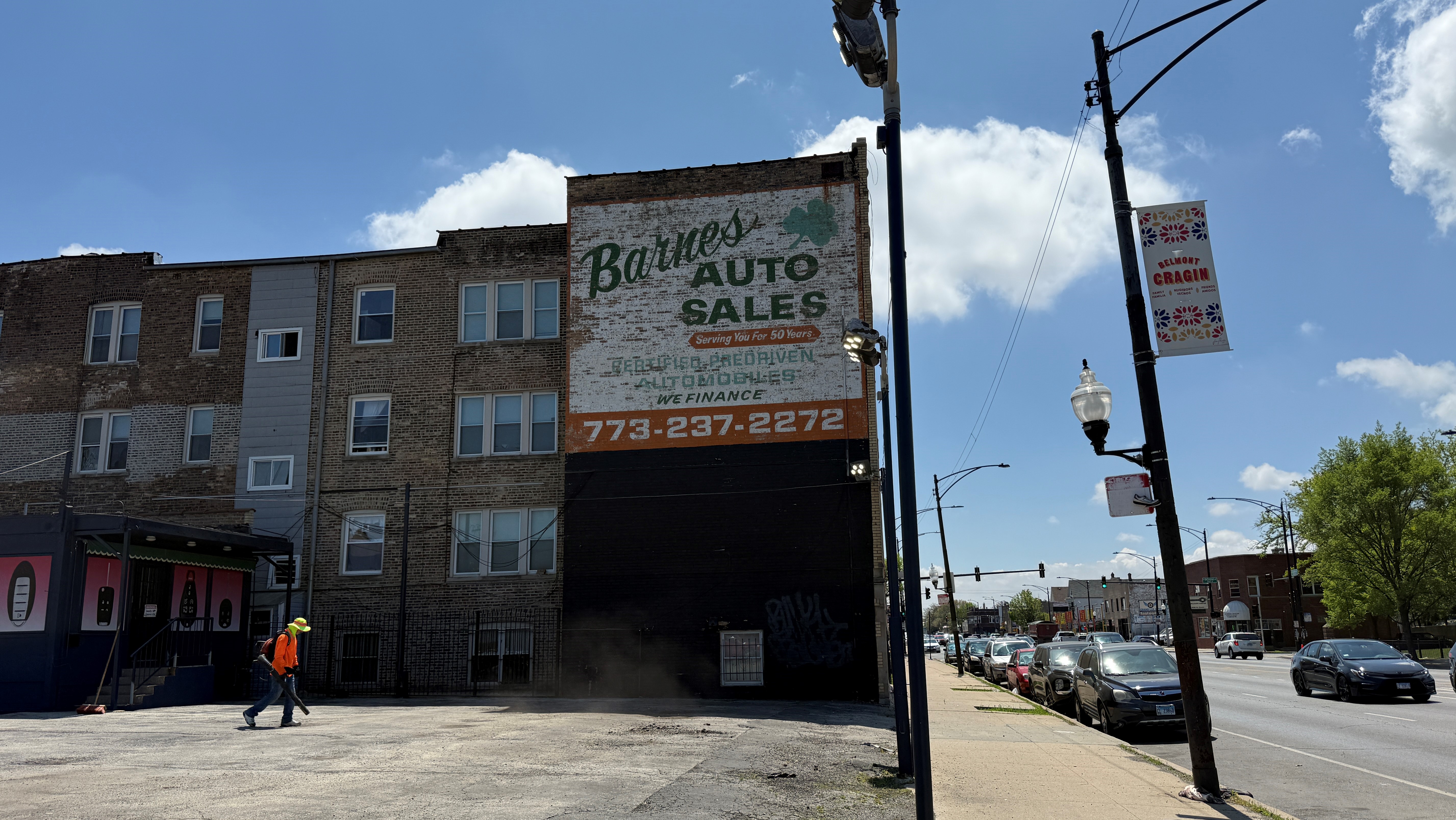
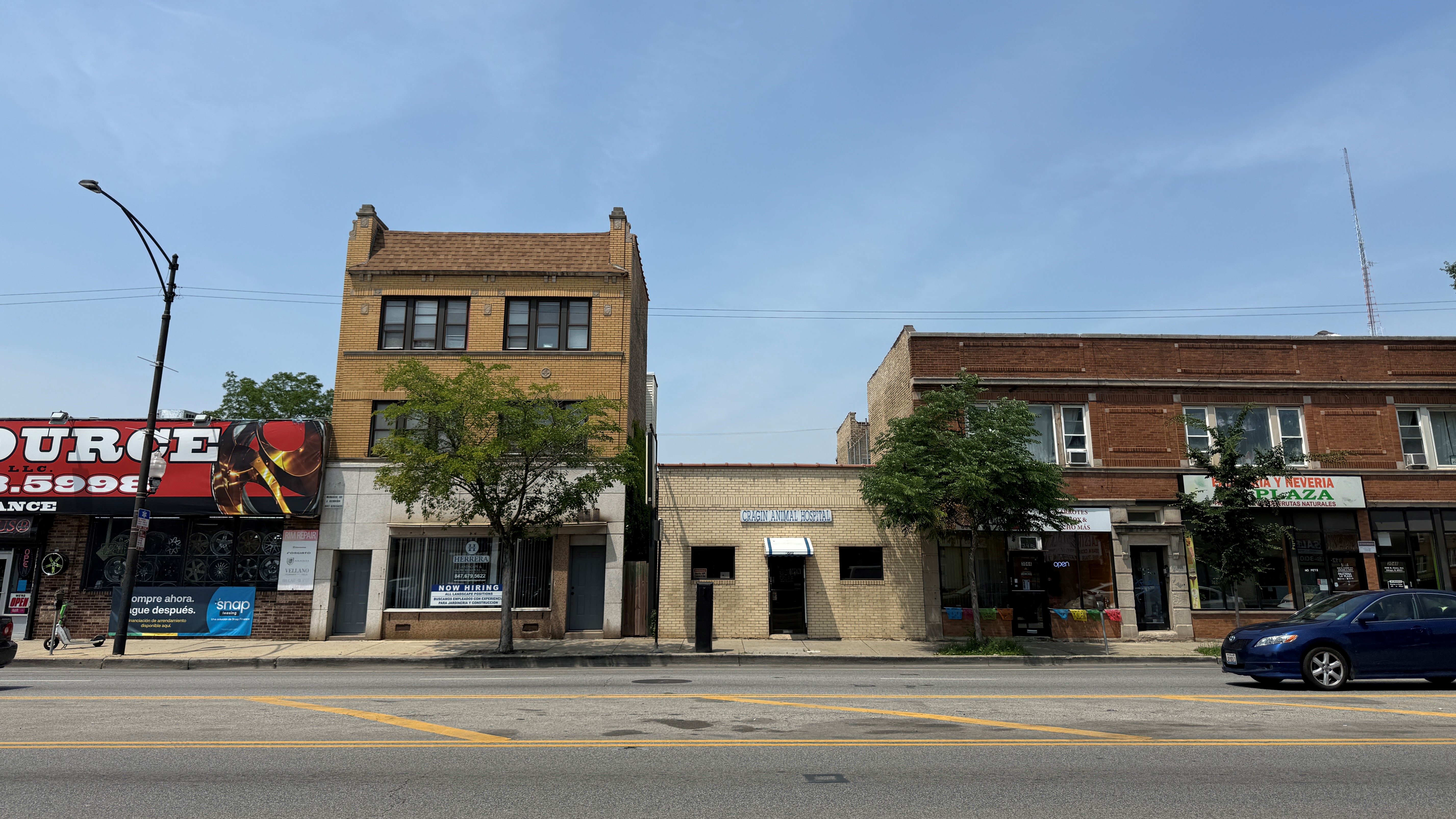
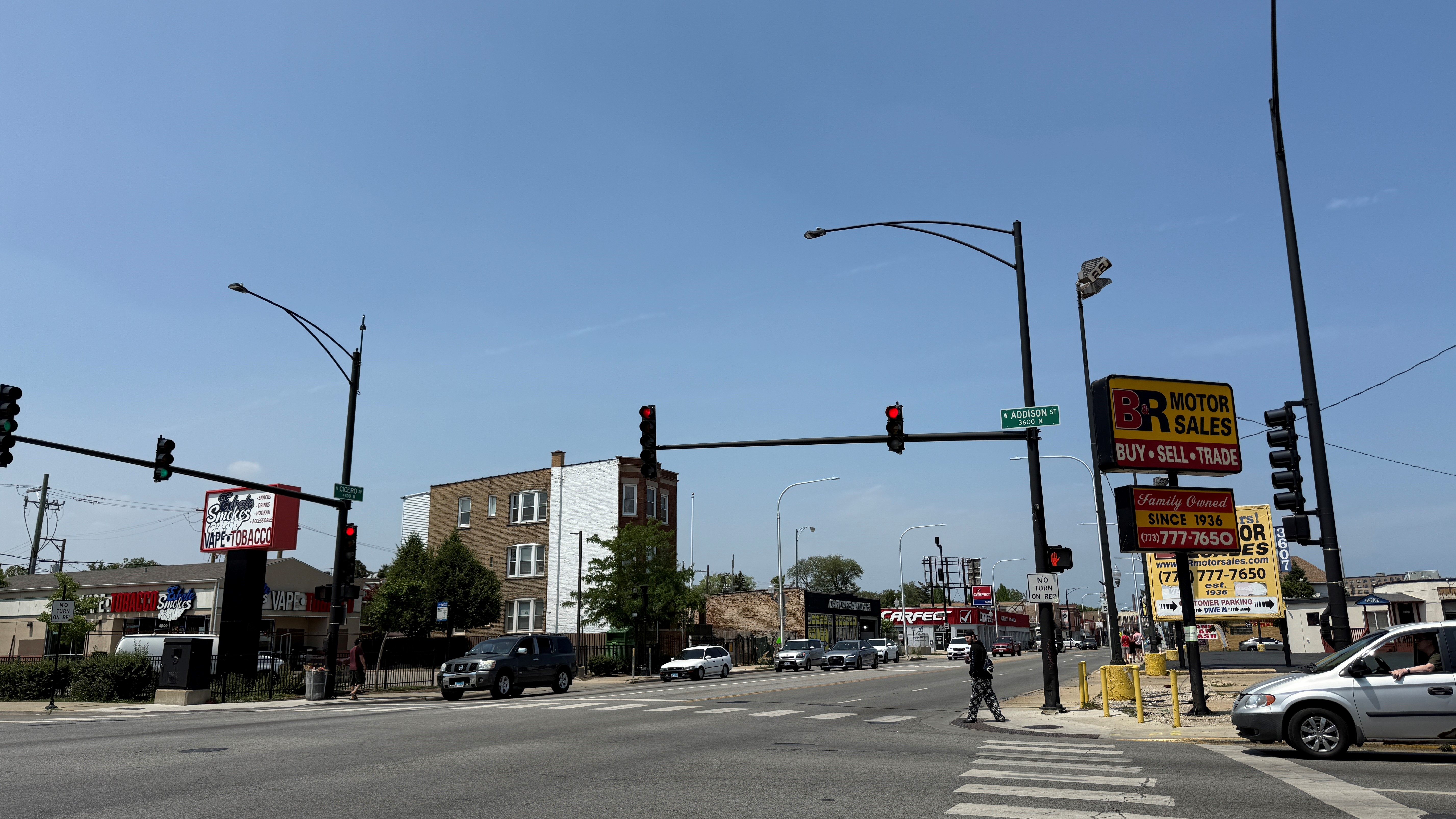
Led by the Department of Planning and Development, the study will examine the existing conditions along North Cicero Avenue between West Irving Park Road and West Grand Avenue in Portage Park and Belmont Cragin. The study will determine recommendations for land use improvements along the 2.75-mile-long corridor that foster economic vitality, cohesion, safety and other local goals, based on input from community partners, business owners, residents and elected officials.
The study is conducted in partnership with Alds. Jessica Fuentes (26th), Ruth Cruz (30th), Felix Cardona (31st), Gilbert Villegas (36th) and James Gardiner (45th).
Get Involved
The Cicero Avenue Land Use Study will include multiple opportunities for community members to share ideas and make their voice heard.
In June 2025, an online survey was launched in English, Spanish and Polish for community members to share their thoughts regarding the existing conditions within the study area and their goals for the future of Cicero Avenue:
To stay informed about the process and learn about upcoming opportunities to get involved, please sign up to receive email updates.
Stay updated / Mantente actualizado
Questions, comments, or concerns? Please email us at dpd@cityofchicago.org.
Community Engagement
| Date | Event | Materials |
|
May 15, 2025 |
Chicago Plan Commission Informational Presentation |
Study Area